 |
 |
 |
 |
 |
|
|
|
|
|
|
|
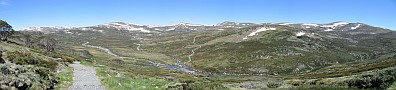
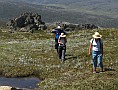
This page is under development WaypointsI will gradually expand this page to include a full list of waypoints in GPX and KML formats, with selected track logs as well. The GPX format is uploadable to navigators and accommodates additional information. If your navigator doesn't support this type then you can try an application such as GPSBabel to convert the data to a different format. KML is Google Earth's display format. The interim list consists of a few points of interest in the Alpine region only. I will expand the list over the next few weeks. 09-Nov-2008. 23 waypoints, Alpine area. GPX format, KML format. The waypoints are shown on the Google Map described in the next section. I will prepare a one-page index of all waypoints when the list gets big enough. MapsGoogle Maps allows website administrators registered with them to create pages with an automatic download of any region. You've probably seen plenty of shopping sites with the location of the store highlighted. With a bit of programming effort quite a bit of embellishment can be overlayed on these regional maps. Thanks to GPS Visualizer for the scripts that were modified to generate the map linked below. I am not going to reproduce all the content of the maps from the book on this site, just enough to identify the waypoints, main tracks and off-track landmarks such as nearby peaks. Click to load the Kosciuszko National Park map centred on the Alpine region. |
Home Contents Availability Walks Maps and Waypoints Planning Images Puzzles Links